
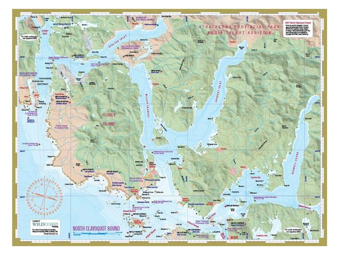
This mapsheet packages the northern waters of Clayoquot Sound including the northern limits of Vargas and Meares islands (to mesh and slightly overlap with mapsheet #208), all of Flores Island, the major waterways of the area (Shelter Inlet, Herbert Inlet, Maurus Passage and Bedwell Sound) and Hot Springs Cove. Those starting from Tofino will want to have mapsheet #208 as well, and mapsheet #206 Hesquiat Peninsula for those continuing west and north of Hot Springs Cove.
About North Clayoquot Sound: Clayoquot Sound (pronounced Cla-kwot) has come to define the British Columbia coastal rainforest. Because of its broad natural appeal, it has become a focal point for environmental debates and protests. Several victories resulted from those, including the creation of the Clayoquot Sound UNESCO Biosphere Reserve. A scientific panel was also formed to oversee forest practices. That has slowed industry, but not stopped it, and so Clayoquot continues to be at the forefront of environmental battles, including in recent years logging east Flores Island and a strip mining proposal for the Catface Range. The biggest change for Clayoquot Sound came in 1995 when numerous parks were created to protect the entire outer coast of Clayoquot, from Hesquiat Peninsula down through Flores Island. In addition, parks were created in Sydney Inlet and Sulphur Passage, while massive Strathcona Provincial Park received a major increase in size with the Megin-Talbot addition, pushing the western park border to the Shelter Inlet shoreline. This creates the opportunity for some wonderfully secluded and wild paddling trips into north Clayoquot Sound, as few others venture this far into the upper waterways.
