
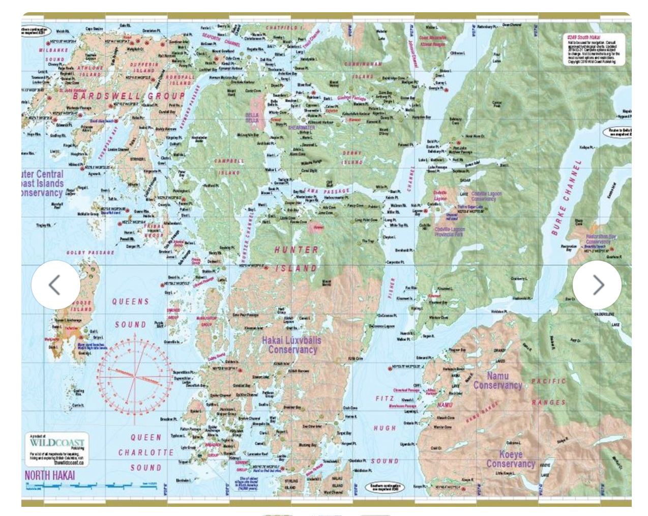
About this region: Getting to Hakai is the challenge, but once you arrive, the possible trips are as varied as any on the coast: the protected waters of the archipelagos near Stryker Island, the convoluted channels of Gale Passage or Joassa Channel, the white sands of the McMullin Group, the idyllic and historic waters of Troup Passage, the ruins of Namu, or the distant and formidable trips up the northern inlets to incredible mountainous terrain like Ellerslie Falls or Fiorland (covered in other mapsheets in this series, but close enough to be part of a Hakai/Bella Bella adventure route).
A common path for visitors to Bella Bella is to head south down Raymond Channel to go as far as your interests, ability and luck with weather take you. An obvious destination is Calvert Island (see mapsheet #248), but there are enough passages, inlets and lagoons here to keep you busy exploring for a lifetime. A problem can be that good camping locations are few and far between, but when you find one, it is usually sublime – a wilderness getaway about as remote and wild as wild can still be.
About this mapsheet: This mapsheet covers the waterways and archipelagos of the north end of Hakai Lúxvbálís Conservancy to Bella Bella, This includes the Bardswell Group, Hunter Island, Campbell Island, Denny Island and the surrounding island clusters including the Goose Group. It will be invaluable for an Inside Passage Transit for the area from Fitz Hugh Sound from Koeye River through Fisher Channel and Lama Passage to Bella Bella then the start of Seaforth Channel. Southern Hakai including Calvert Island can be found in mapsheet #248.
