
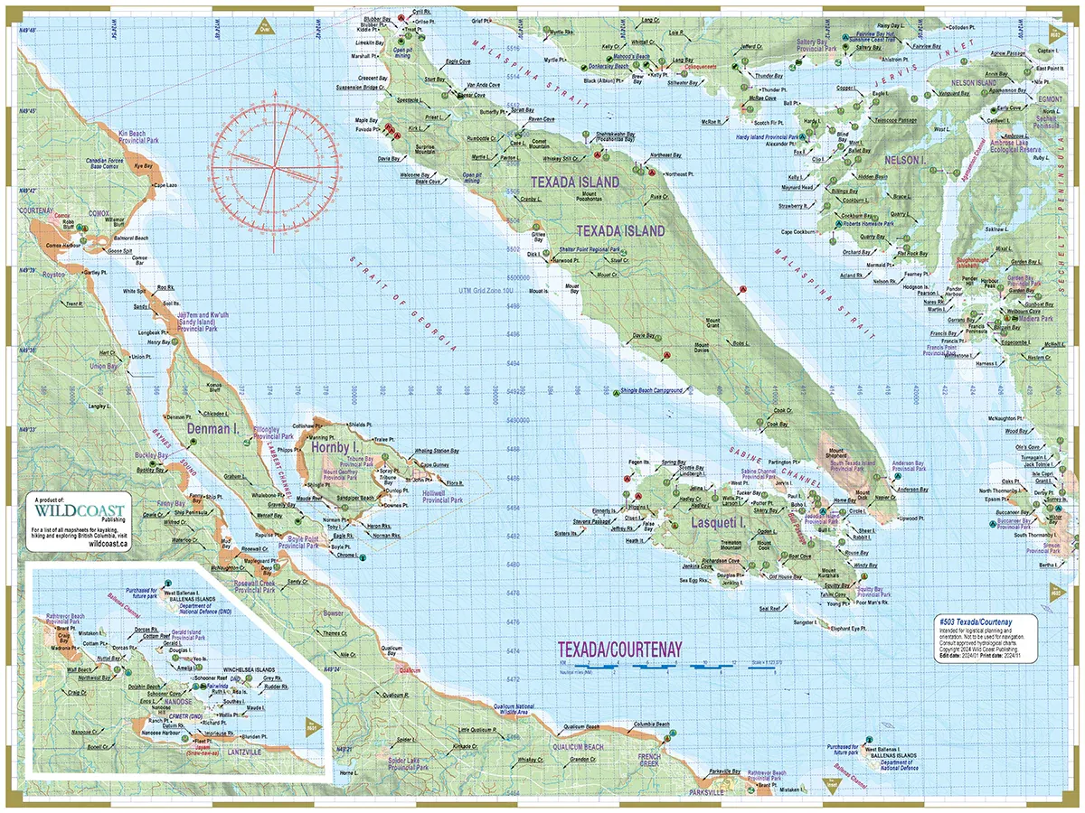
Area covered: This mapsheet covers the North Georgia Basin between the British Columbia mainland and Vancouver Island from Pender Harbour and Courtenay to the south to Campbell River and southern Desolation Sound to the north, including all of Texada Island plus Lasqueti, Hornby and Denman islands.
Resolution is 1:123,070.
About the Chart Assistant series: The Inside Passage Chart Assistant series covers the entire BC coastline from Washington State to Alaska in a uniform scale for consistent application. All Chart Assistants are printed on heavy synthetic paper to withstand the toughest conditions. The new #500 series replaces the individual mapsheets in the previous #300 series.
Combining with Deck Toppers: These mapsheets can be used in combination with the Deck Topper series to fill in the vast majority of the southern British Columbia coast in greater detail, as Deck Toppers are twice the resolution, and cover the area in more detail including text descriptions for hazards, features and attractions, campsites, launch sites and much more.
